- Editors Note:
- Santa Rosa Range
- Sierra Nevada Influenced Region
- Winnemucca
- Austin-Tonopah Ranger District
- Ruby Mountains
- Ash Meadows
- Spring Mountains
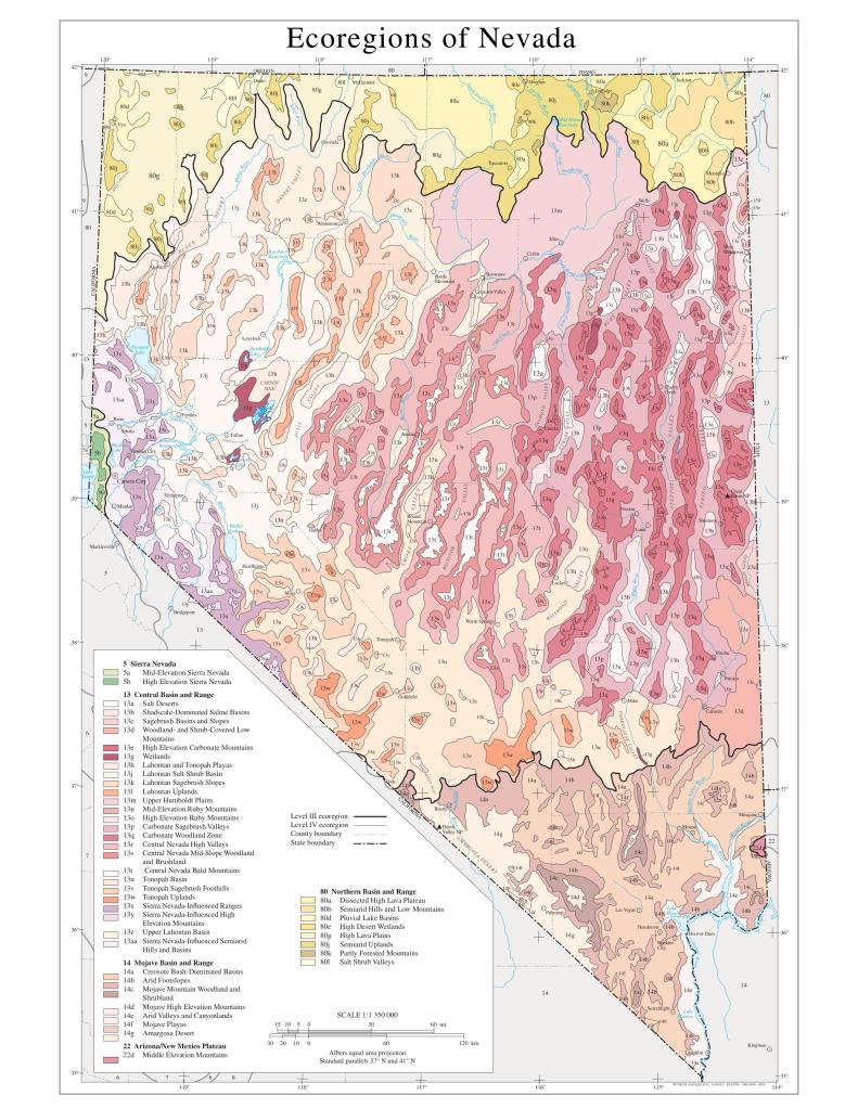
As a state, the majority of Nevada is composed of the Great Basin, the largest contiguous region within the U.S. where water does not flow out to the oceans, but instead stays within its own internal watersheds. To match with this impressive claim, Nevada also has the lowest annual precipitation in the states with 9 inches, and also has the highest number of mountain ranges.
Geologically, Nevada is mostly composed of extrusive igneous material, such as andesite, rhyolite, or tuff. Notably, the Sierra Nevada and the Ruby Range contain large quantities of granite, and many of the mountain peaks are sedimentary, like the ranges surrounding Ely which are heavily limestone. Nevada is a geologically diverse state, and minerally fascinating, but I won’t go into that here. For more info, visit UNR’s Geology Museum in person.
As a note, Arnold (Jerry) Tiehm and Jan Nachlinger recently published the first complete annotated checklist for Nevada’s vascular flora since 1925. In this publication they altered some of the boundaries for each ecoregion. These alterations were based upon a starting point of floristics; Tiehm & Nachlinger used Holmgren’s 1972 delineations and altered the boundaries using modern herbarium data and personal experience.
I highly recommend anyone interested in the endemic plants of Nevada, or annotated flora checklists to check out their publication. Check out my mapping of Nevada endemics here.
Editors Note:
This page is still under construction. For one, while working on this section I ran out of media storage on my website- I don’t take too many photos, what do you mean- and I refuse to pay for more through WordPress. As a solution, I spent a long time updating my Flickr account (lilium.oryza) and will from now on be embedding albums to my website. Second, I am returning to Nevada this year (2026) and will be travelling to a lot more new ranges in new sections of the state, so this page will be more filled out later this year.
Finally, since the ecoregions of Nevada are heavily defined by the flora found there, I will be using Tiehm’s and Nachlinger’s annotated checklist when placing a range within an ecoregion.
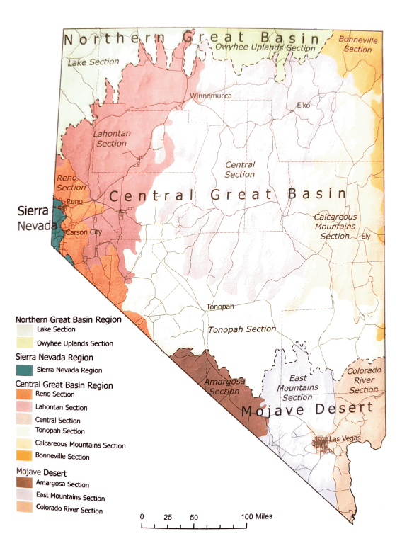
Northern Great Basin
Many of the ranges in Northern Nevada are within the Northern Great Basin, representing a transition towards the lava plains more common in SE Oregon and SW Idaho. Per Tiehm & Nachlinger 2025, The NE Corner of the state is the only portion of Northern Nevada not within the Northern Great Basin, placing it within the Bonneville Section of the Central Basin & Range. On average, this ecoregion receives more precipitation, and is colder than the lower portions of the state. Notable ranges in Northern Nevada are the Santa Rosa & Black Rock Ranges, and the Jarbidge Mountains.
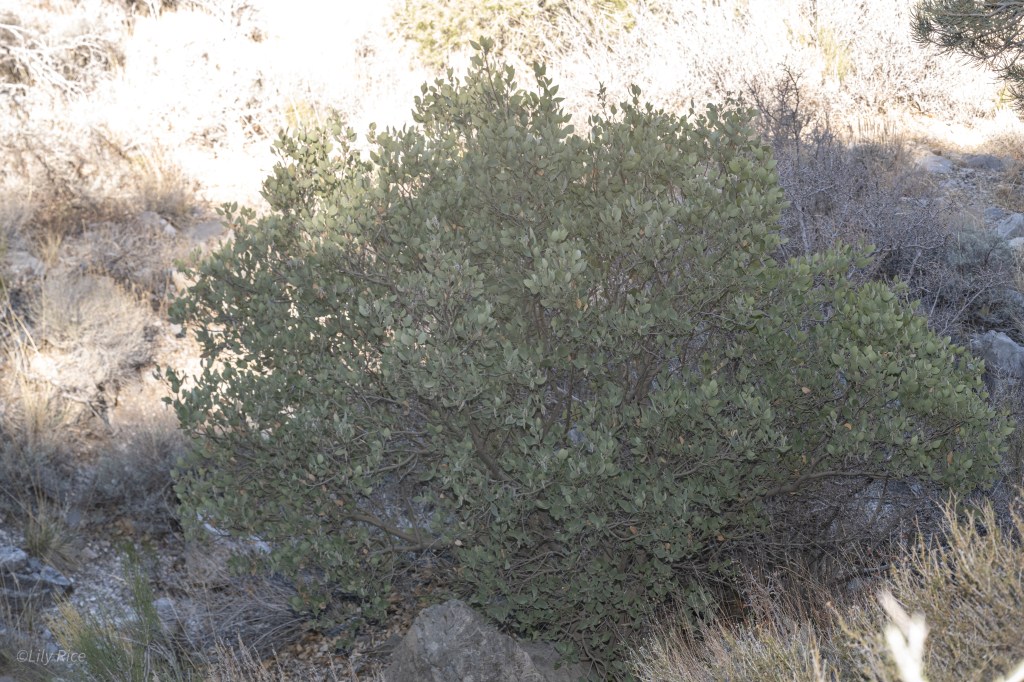
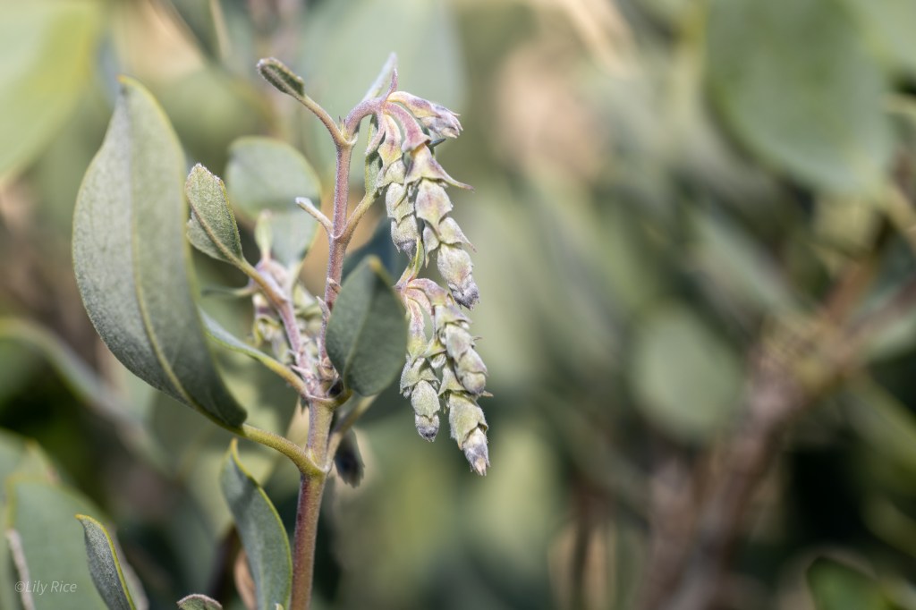
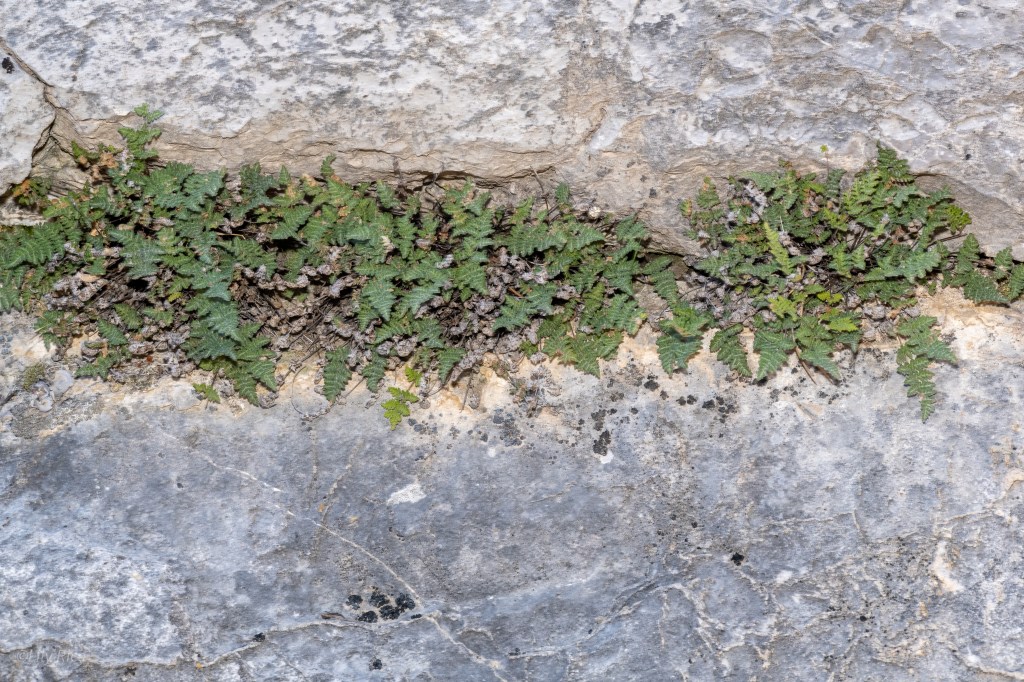
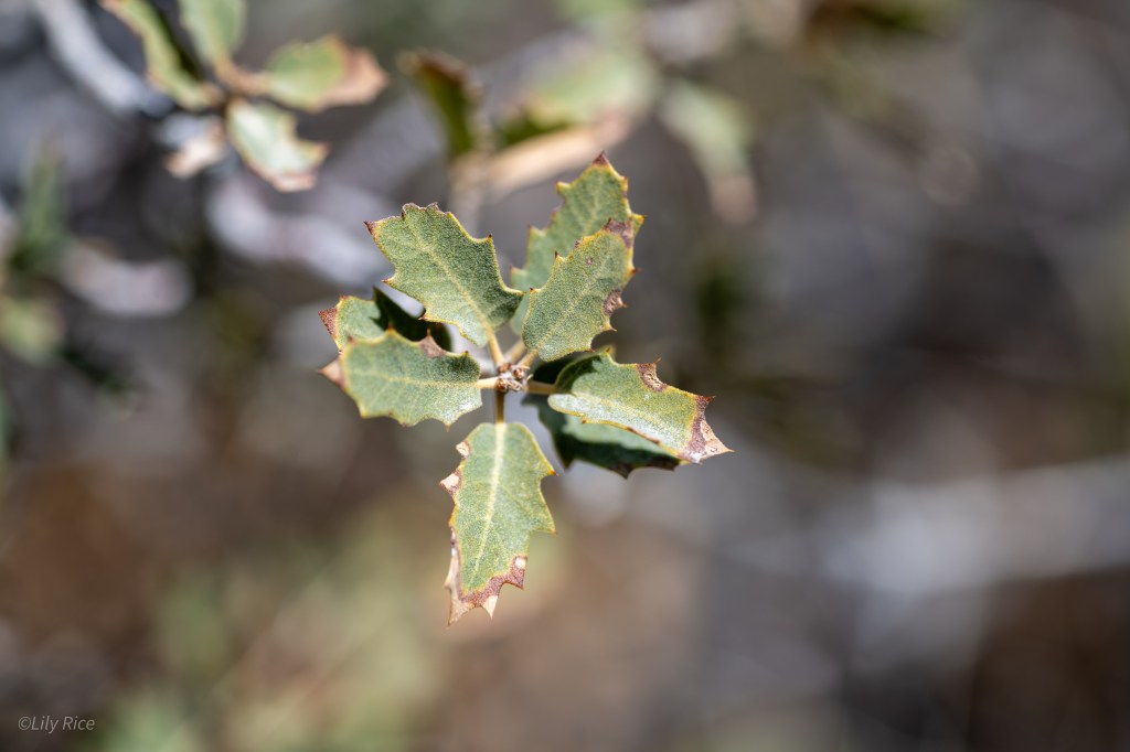
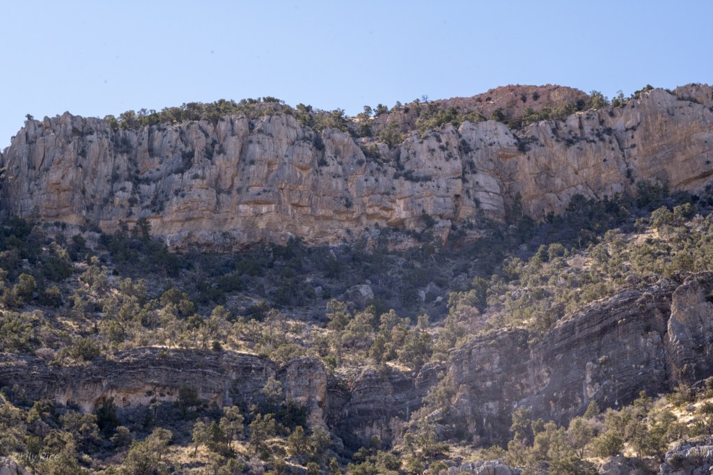
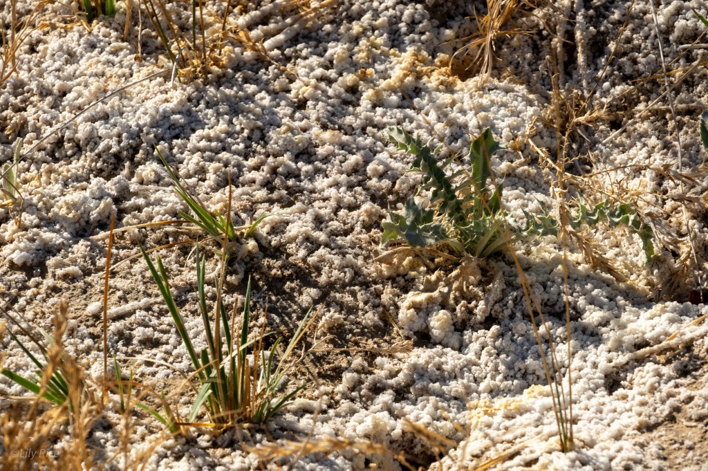
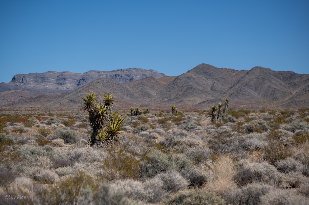
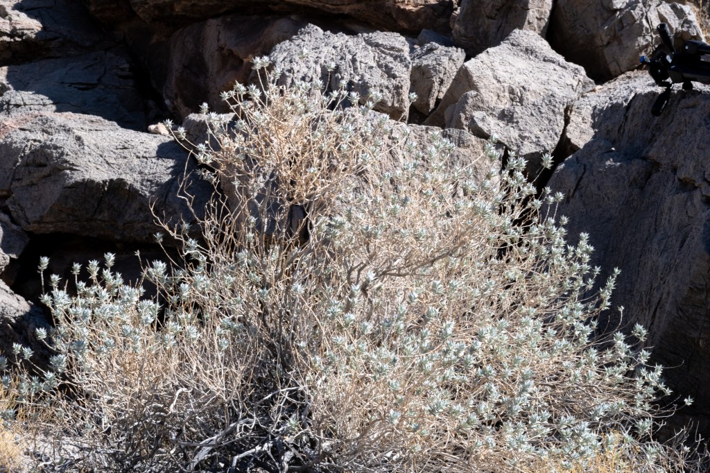
Santa Rosa Range
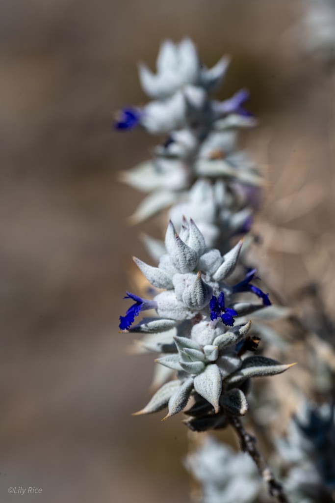
The Santa Rosa Range is within the Lake Section of the Northern Great Basin. Santa Rosa has plenty of exposed volcanic bluffs and bedrock and consists mostly of sagebrush steppe and grassland communities. The colder, semiarid environment restricts some of the more southerly plant communities from colonizing here. Most notably, Juniper communities that are common elsewhere are absent here. The highest point in the District is 9,705′. Two endemic species are present here: Astragalus atratus var. atratus and Polemonium nevadense.

Central Great Basin
Large and in charge, the Central Great Basin composes the majority of the state, from the 42nd to approximately the 37th parallel. Accordingly, the Central Great Basin houses the largest number of vascular plant taxa out of every other section with 70.8% of all taxa. Despite this, its massive size does not translate to exclusivity; the share of unique taxa per size of region is only 0.8% (Tiehm, & Nachlinger 2025). The floristic communities found within this region is broad, for example: several species of sagebrush-dominated slopes, pinyon-juniper forests, shadscale & greasewood scrublands, or alkaline wetland communities. Finally, geologic and hydrologic diversity is similarly broad. The small overlap of the Sierra-Nevada ranges are found at the elbow of the state near Reno & Carson City and calcareous mountains near Ely; three dominant rivers influence the plant communities, the Humboldt, Walker, and Truckee, and the remnants of the Pleistocene Lake Lahontan still shape the state.
Sierra Nevada Influenced Region
The western portion of Nevada is a direct result of the Sierra Nevada ranges directly to the west which are responsible for the rain shadow over the state. Alluvial fans from the Sierra Nevada reach into Nevada, and around Reno & Carson City the Sierra Nevada stands large around Lake Tahoe and its subsequent drainages. Mountains found near the Sierra Nevada exhibit a collection of floras typical to both California and Nevada, such as Peavine Mountain in Reno. The climate here can be variable as storms can rip suddenly off of the Sierra Nevada, bring thunder & snowstorms across the peaks and valleys.
Reno & Carson City
The Carson Ranger District composes the Forest Service land around Reno and Carson City, which represents the foothills of the Sierra Nevada, and the Sierra itself before it switches over to the Lake Tahoe Basin Management Unit and other Federal Parks/Forests. There are many endemic species to this area, with elevations from 4,000′ around Reno & Carson City, to 10,000′ at the peak of Mt. Rose.

Alkali Lake
Still within the Reno Section of the Central Great Basin, Alkali Lake is the drainage basin for the Mt. Hicks & Powell Mountain, about 8 miles away from the California border. The surrounding mountains with volcanic soils leech toxic salts that collect in the depression here. A variety of halophilic species call this unique habitat home. Raptors use the stands of rushes as hunting ground for small mammals and reptiles.

Central Nevada
The central portion of Nevada sits squarely in the Central Basin and Range ecoregion (no duh) and the long reaching ranges in this region display a visible transition between the typical Northern Basin and Range flora and the Mojave Desert.
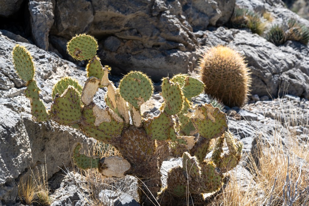
Winnemucca
Much of the lowlands in this area of Nevada are the basin of the historical Lahontan lake that covered much of Nevada. The lowlands surrounding Winnemucca is considered a salt shrub basin, where plants like Shadscale is common and occasional windblown sand dunes are found. The Sonoma Mountain to the south reaches a peak of 9,396′ and shifts towards Lahontan Sagebrush Slope and Upland plant communities.

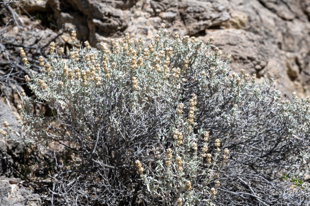
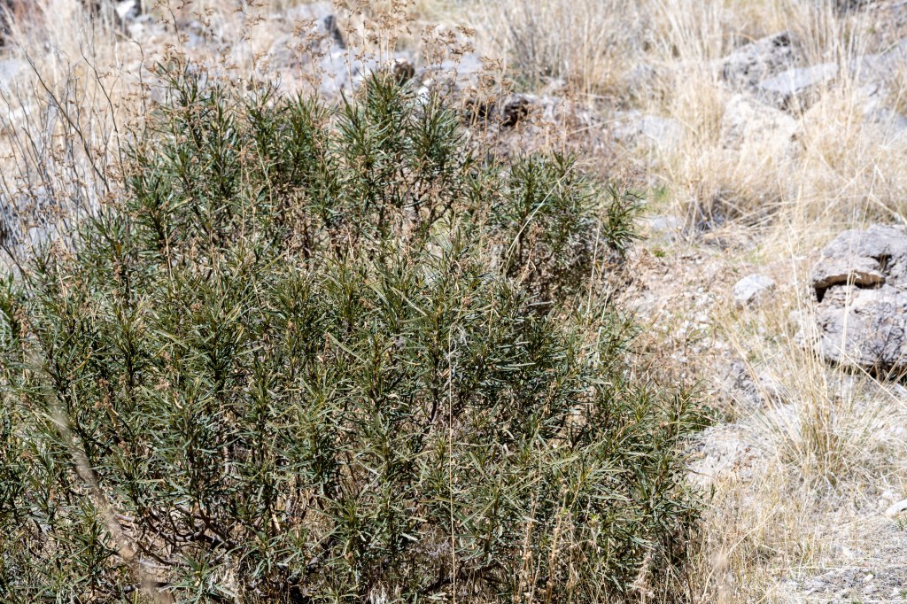
Austin-Tonopah Ranger District
The Austin-Tonopah Ranger District is a US Forest Service district of the Humboldt-Toiyabe National Forest. It is singled out here for its large influence in the center of the state. The ranges here are a series of North-South ranges in quick succession. This FS district is the largest amongst any in the lower 48 states, with over 2 million acres in its boundaries. Elevations range from 5,000′ to 11,000′, and the ranges themselves span 39.5-38.1 degrees latitude. The ranges within the district left to right are the Paradise, Shoshone, Toiyabe, Toquima, and Monitor.

Eastern Nevada
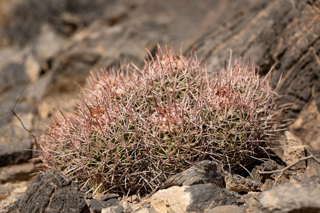
Ruby Mountains
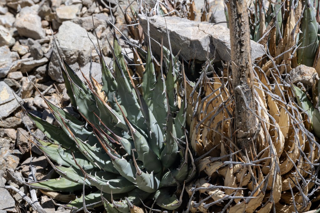
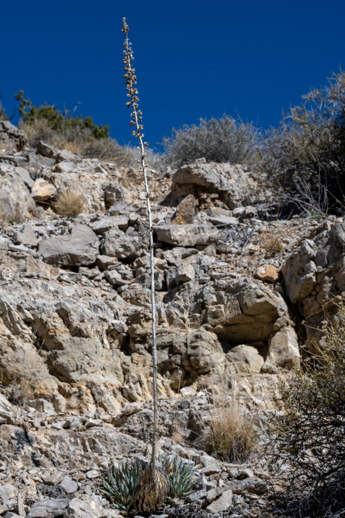
The Ruby Mountains are atypical from much of the surrounding ranges. Instead of extrusive igneous rocks, most of the range is composed of granite, which has been shaped by several periods of glaciation. The famous Lamoille Canyon is a superb example of the U-shaped valleys created by glaciers. Like much of the other northern regions in Nevada, the Rubies tend to be much cooler, and receives more annual rainfall. In effect, this makes the Ruby Mts. feel more like the Sierra Nevada than the adjacent Nevada ranges. Large swaths of Aspens can be found surrounding the drainage slopes, and ascending up to the 11,000′ peaks, one of the few populations of the Great Basin Bristlecone Pine calls the Rubies its home.

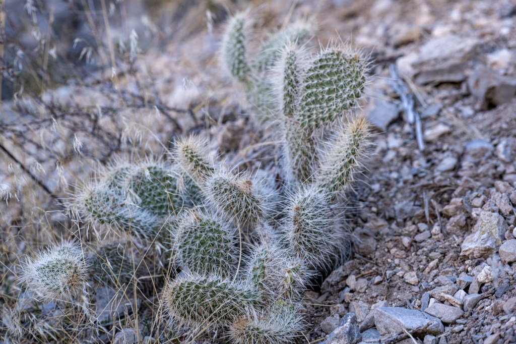
Mojave Desert
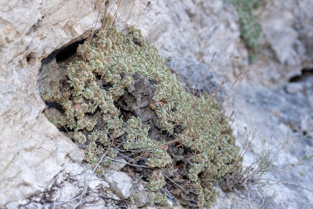
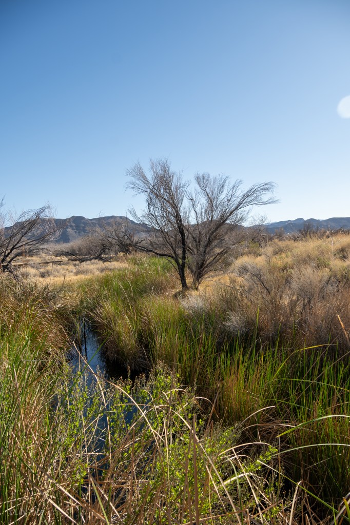
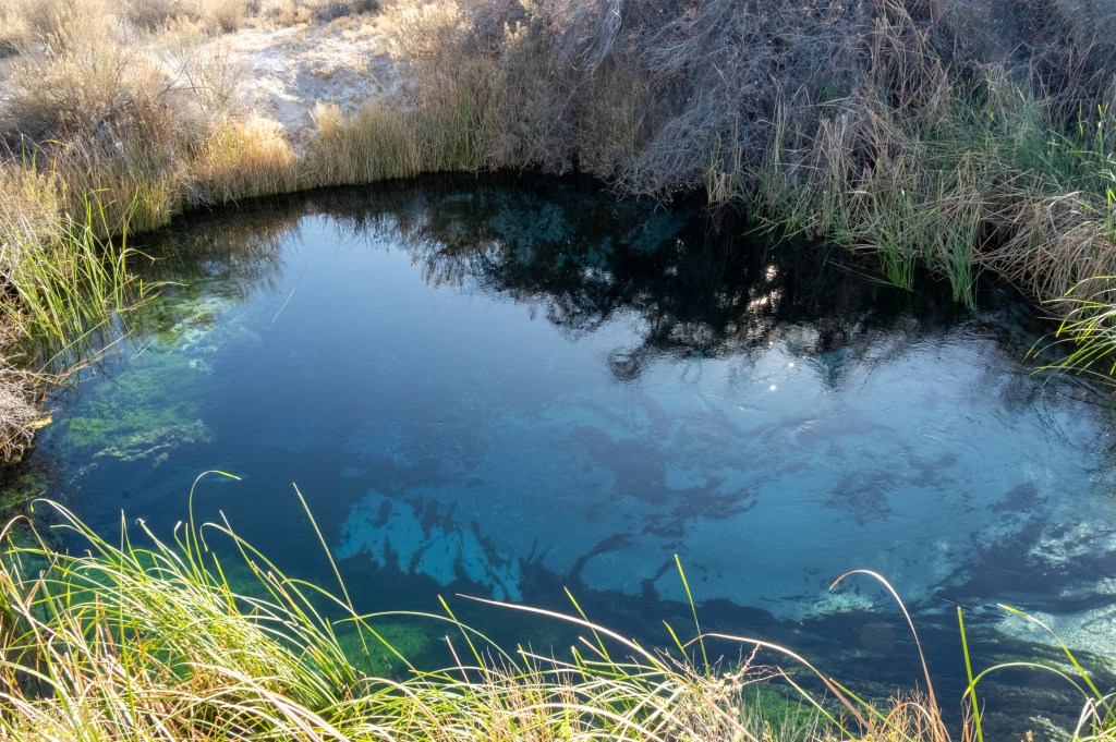
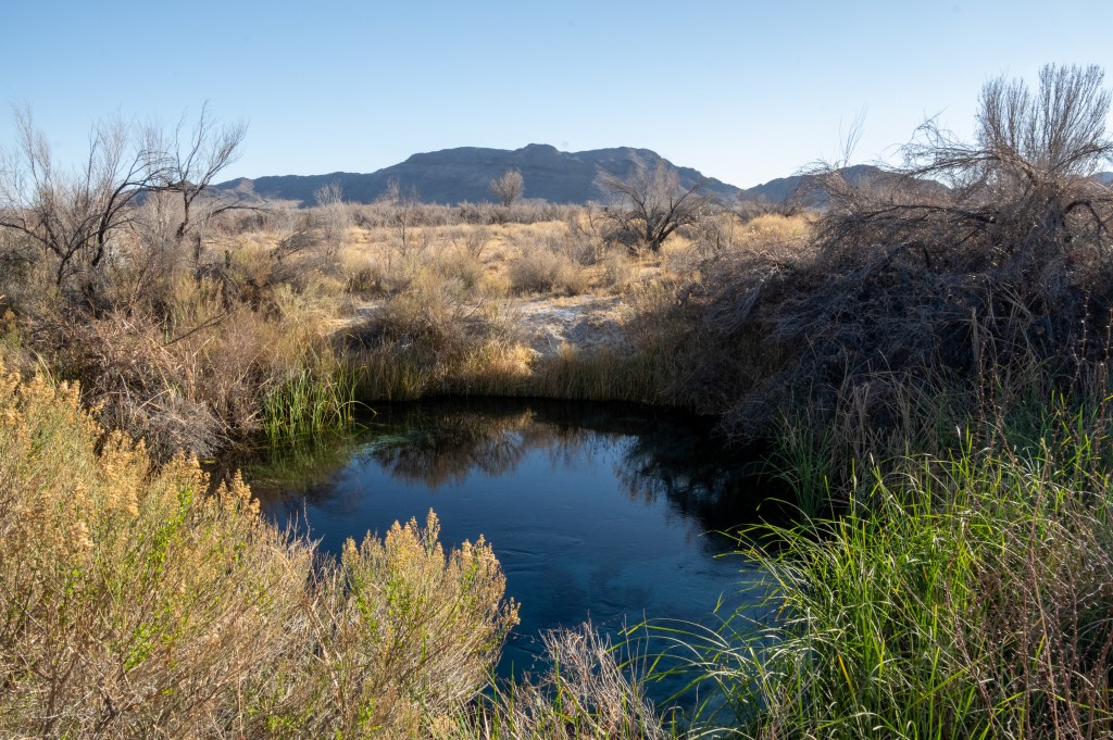
Ash Meadows
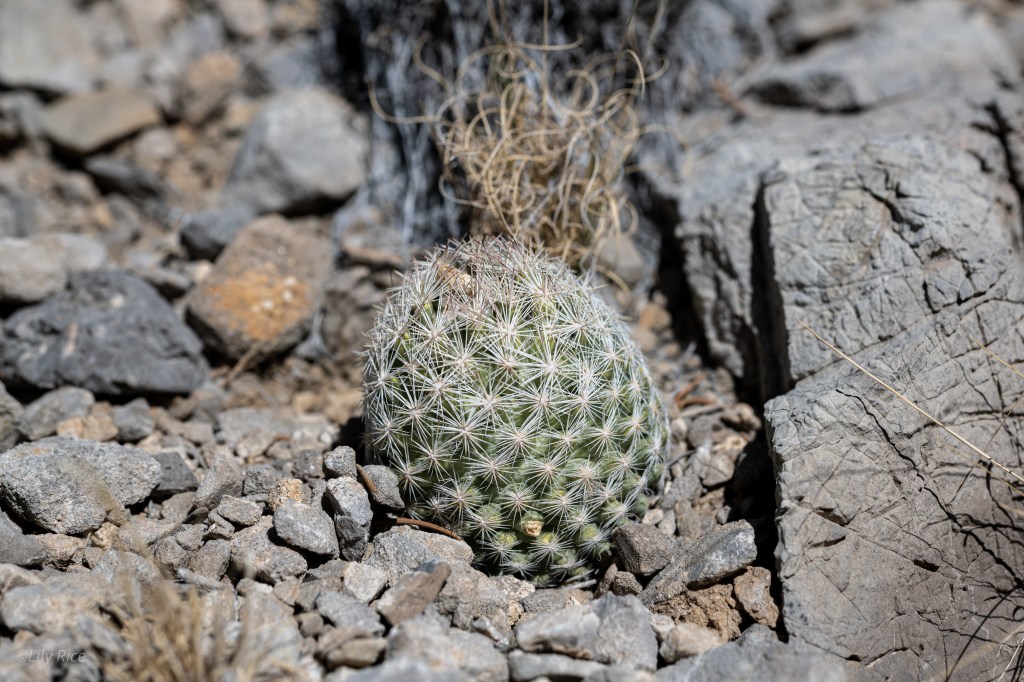
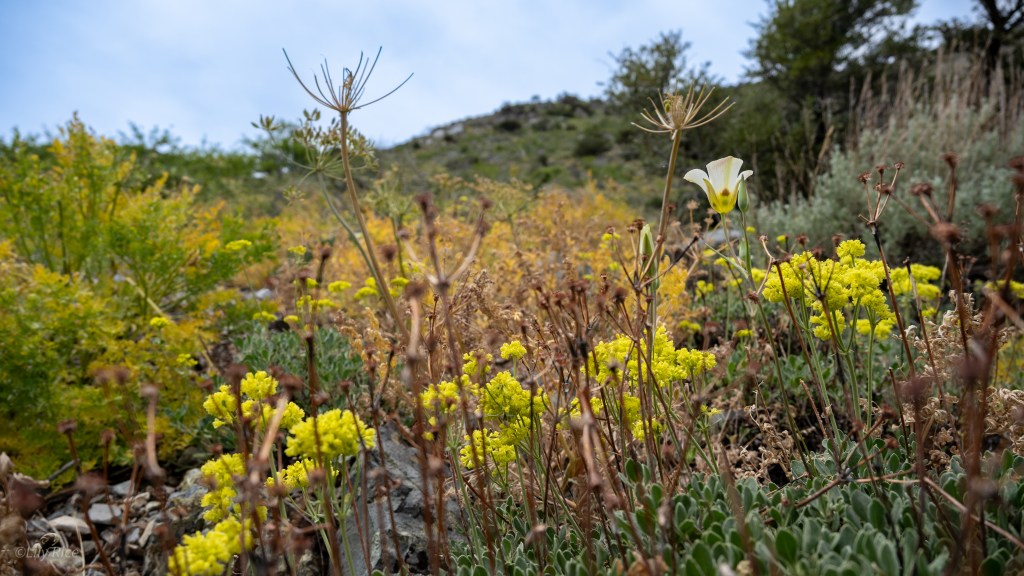
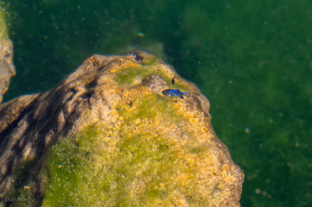
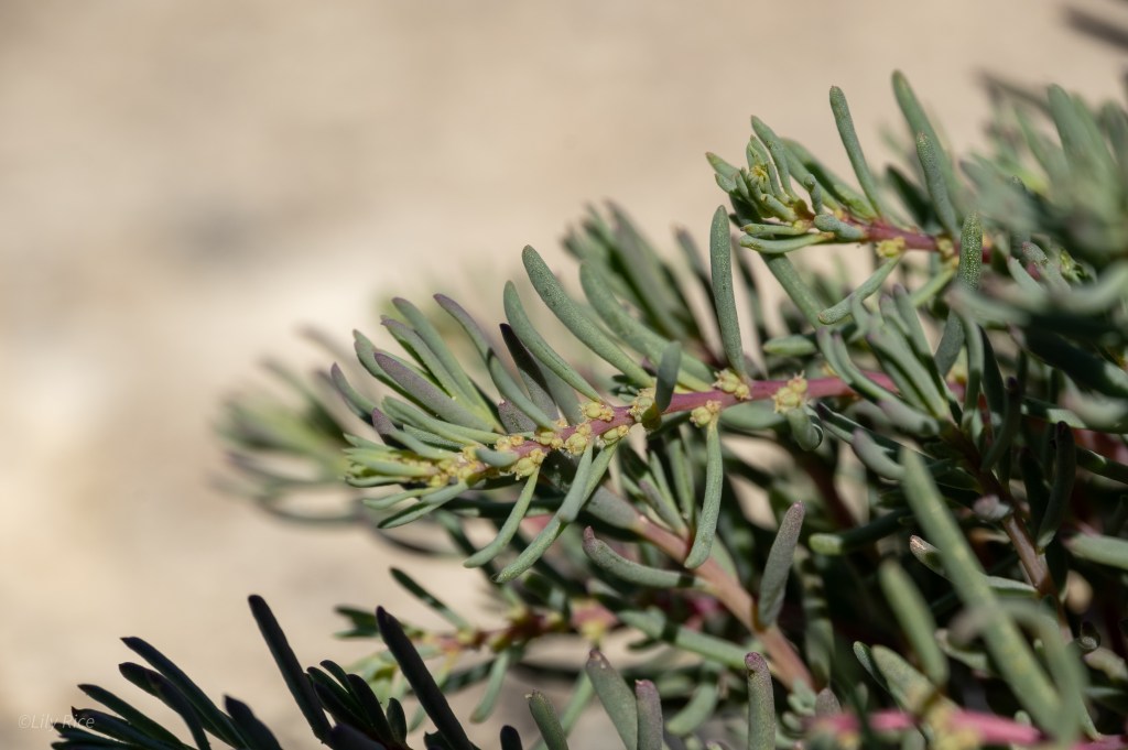
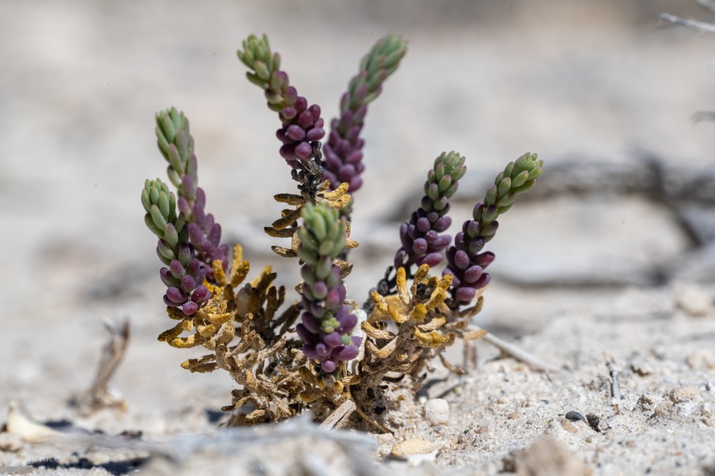
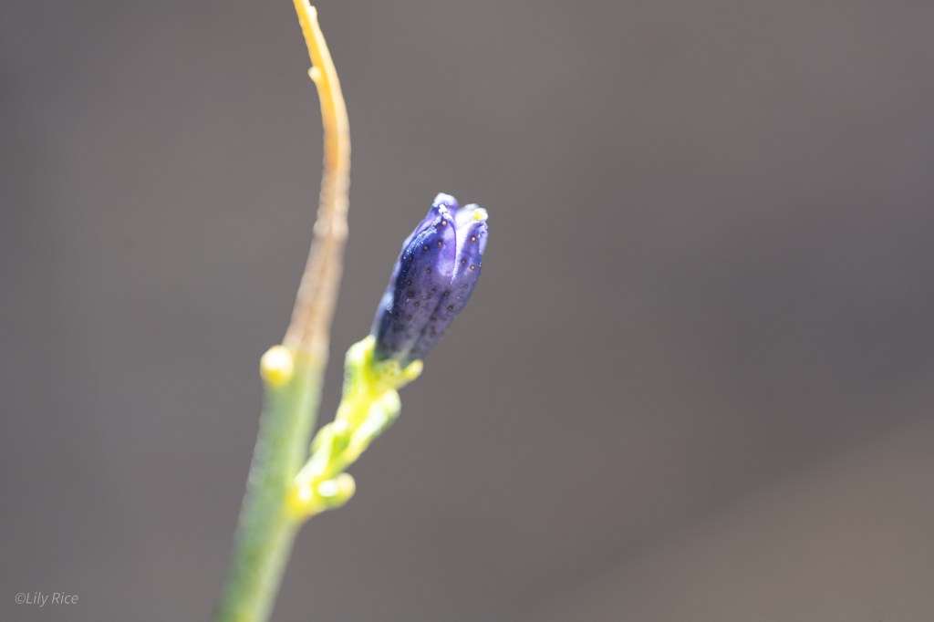
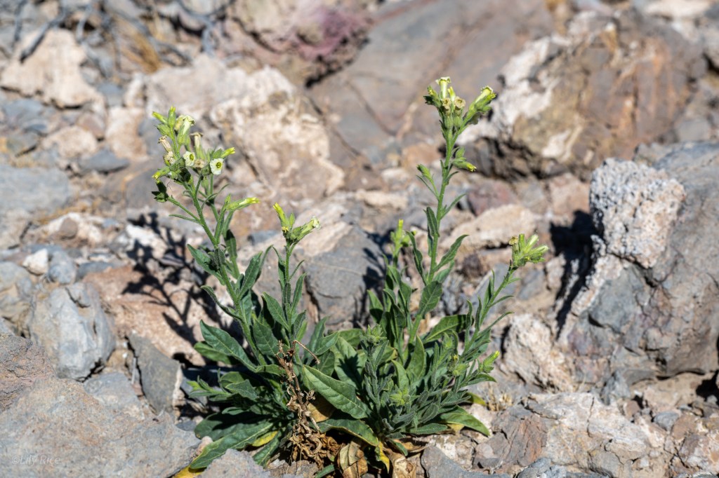
The definitive champion of endemic species, Ash Meadows is the most unique area of the state, and the country. Squarely on the West side of the calcareous Spring Mountains in the Amargosa Valley this desert oasis sits at 2,100 to 2,400 ft (640-730 m). Most renowned for the Devil’s Hole pupfish- a relict from the Pleistocene now trapped in a geothermally heated pool- the area is home to many species found nowhere else in the world. For plants, this region has 8 Nevada endemic species found within its borders. This region’s high endemism is a result of the alkaline alluvia from the surrounding mountain ranges and the constant flow from geothermal oases. Only one of the Ash Meadows endemics are photographed here.

Spring Mountains
The Spring Mountains is the largest