Michigan is a cold and wet state that acts as a transitional zone from the northern boreal forests in the upper peninsula to the hardwood-dominant forests in the lower peninsula.
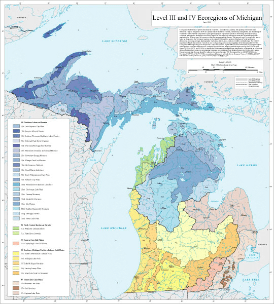
Michigan is the Great Lakes state. Four of the 5 Great Lakes- Superior, Michigan, Erie, and Huron- surround the two peninsulas that make up Michigan. The geology of the state is similar to that of Ohio, comprised almost entirely of sedimentary rocks like shale, sandstone, and limestone. You can view an interactive map geology map here. Also like Ohio, the region was greatly shaped by glacial erosional forces. Much of the upper layers of soil are due to glacial or glaciofluvial sediment depositions. Additionally, the unique characteristic of the state being split into two peninsulas means that the geology and ecoregions differs greatly depending on which peninsula and which portion you’re in. The Northernmost portion of the lower peninsula and the Easternmost portion of the upper peninsula have the most in common with each other. Lastly, the youngest bedrock is in the southern lower peninsula (Pleistocene) and the oldest bedrock is in the western upper peninsula (Precambrian).
Annual precipitation rates are similar to that of the other Great Lakes states with a range of 20-40 inches, depending on the area. Much of the precipitation comes off of the Great Lakes, although a warming climate is seeing an alteration of precipitation patterns across the state.
Upper Peninsula
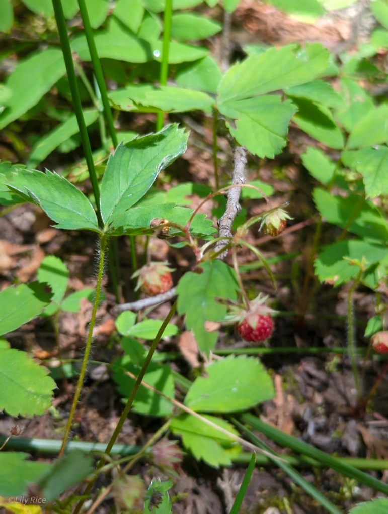
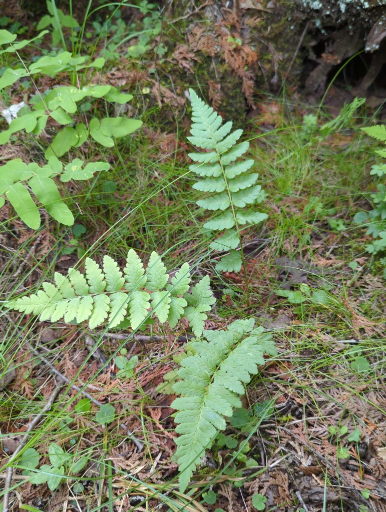
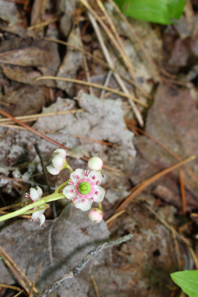
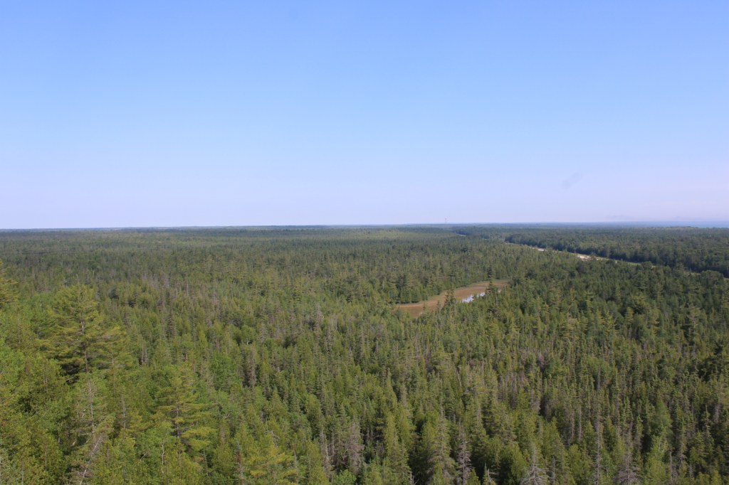
The upper peninsula of Michigan (the yoop) shares more in common with the northern boreal forests of Canada than the hardwood forests of Ohio, Indiana, and the lower peninsula. The soil of the yoop is heavily sandy, and much of the landscape is composed of a system of wetlands. It is hard to go anywhere in the yoop without seeing a fen, bog, stream, lake, or river. For the eastern U.S., hiking through the yoop feels like the first breath of true wilderness.
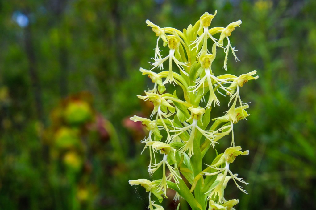
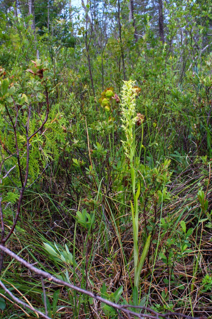
St Ignace
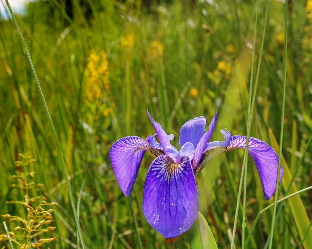
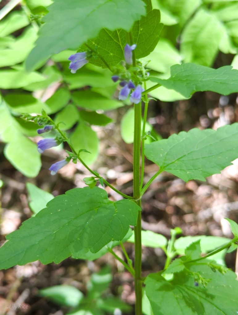
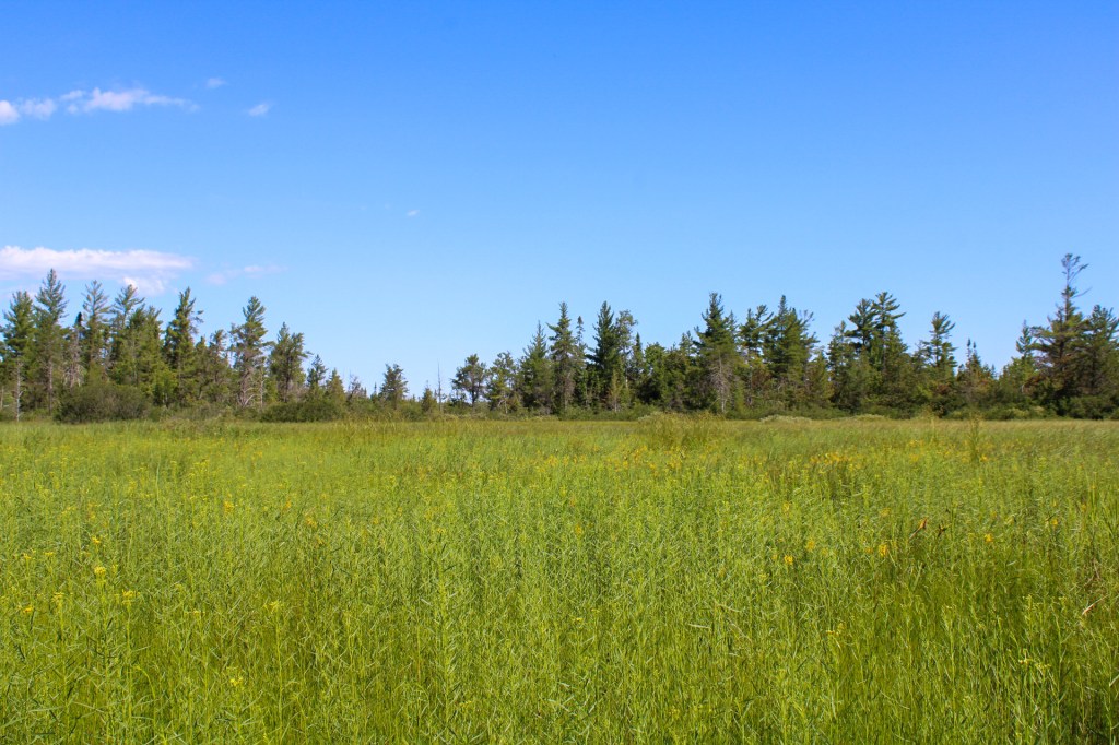
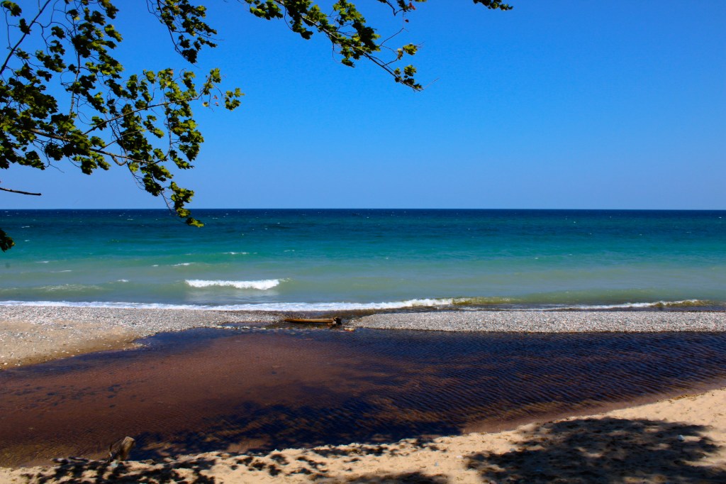
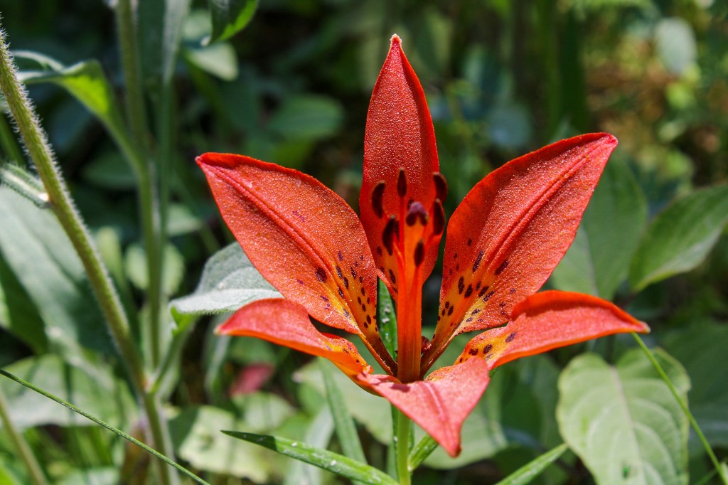
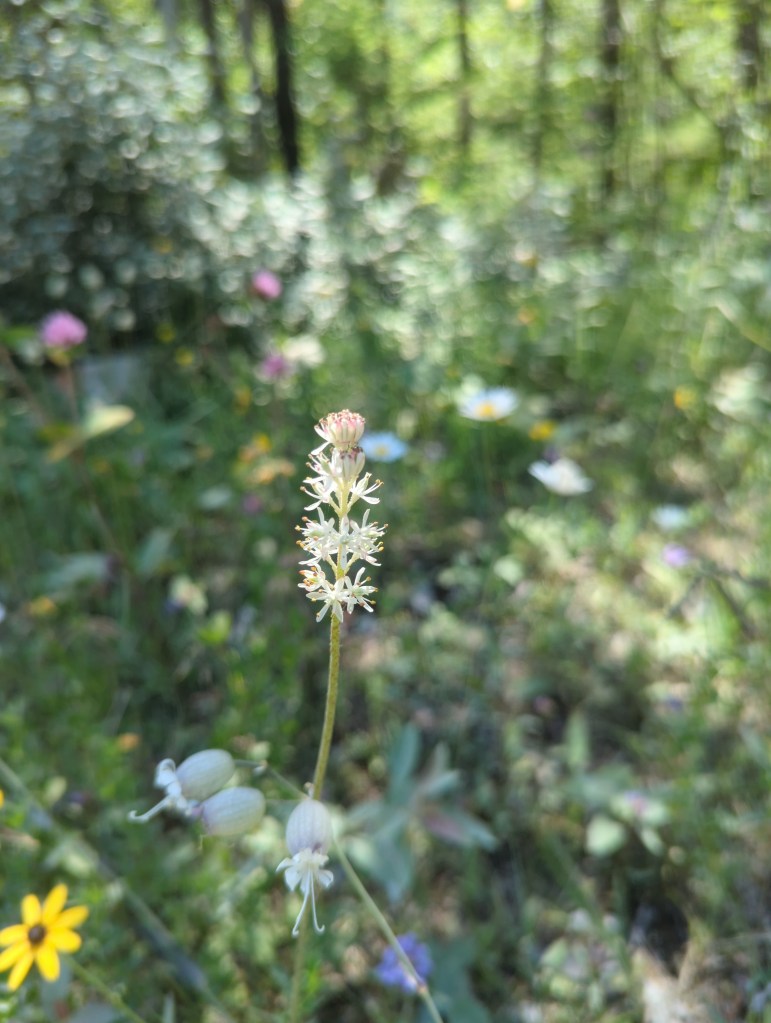
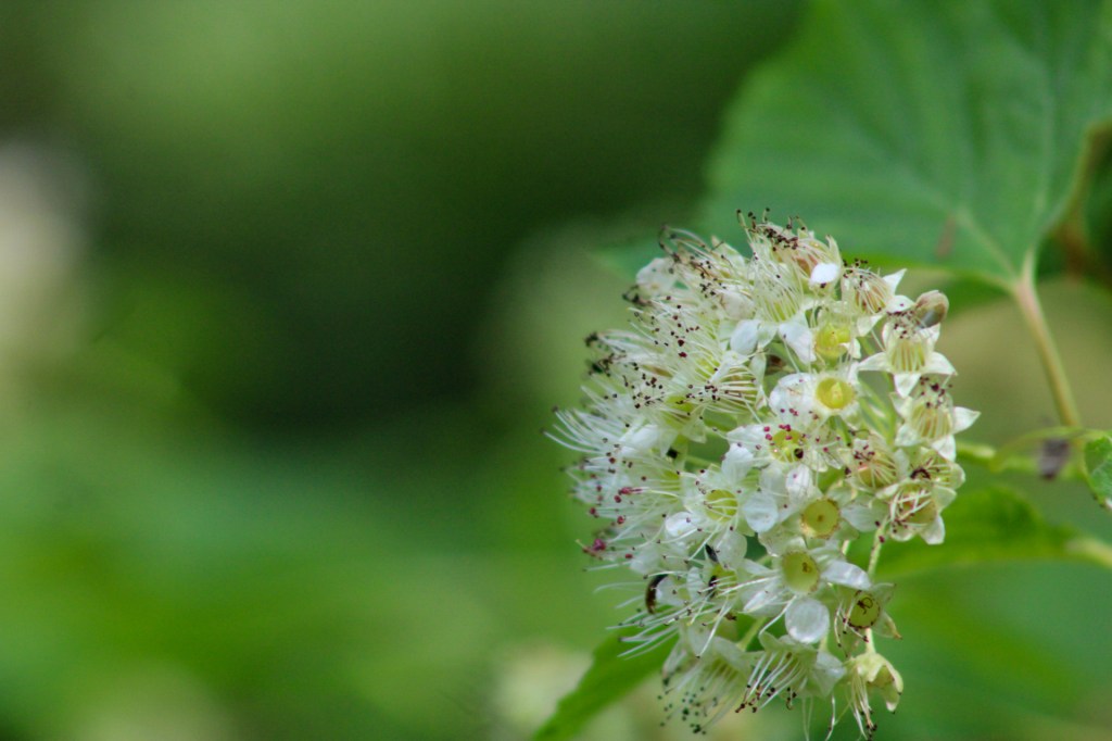
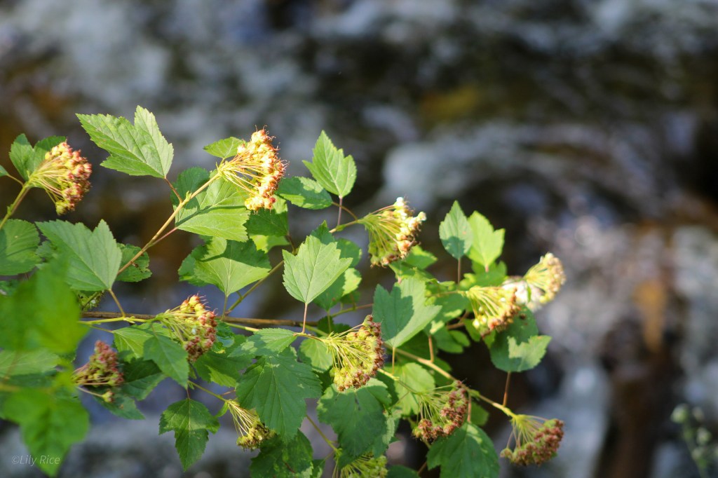
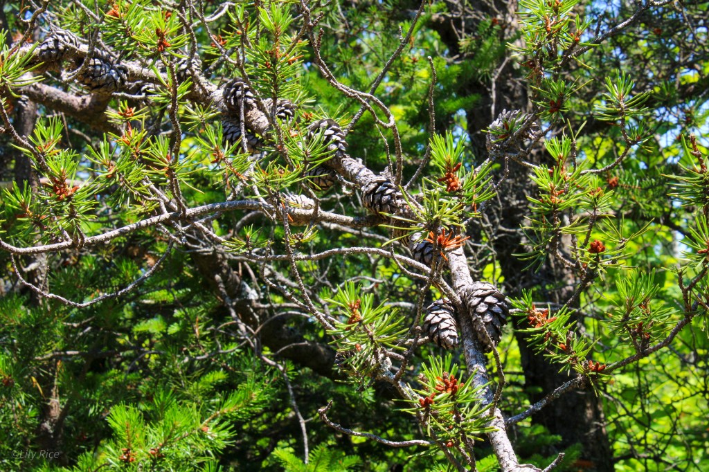
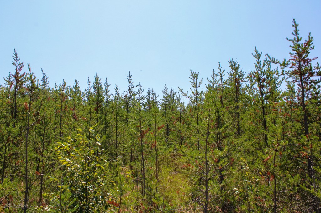
Directly across the nearly 5 mile Mackinac (pronounced, ‘MACK-in-awe’) bridge, the mini-peninsula of St. Ignace is a distinct and immediate difference in habitat from the lower peninsula of Michigan. St. Ignace sits in the border between Lake Michigan and Lake Huron. As previously mentioned, much of the forest is composed of conifer species- and is evident in the final photo -like Thuja, Abies, and Pinus. The roadsides in July are dotted with flowering species, like Lilium philadelphicum and inside the forests are acidic-soil loving plants species across hydrology levels.


Tahquamenon Falls
Tahquamenon Falls was a pit-stop for my friends and I on our way to Hiawatha National Forest, and the botanizing was minimal. It is mentioned here solely for the fact that this impressive tannin-rich falls is the largest in Michigan, and one of the largest east of the Mississippi River.

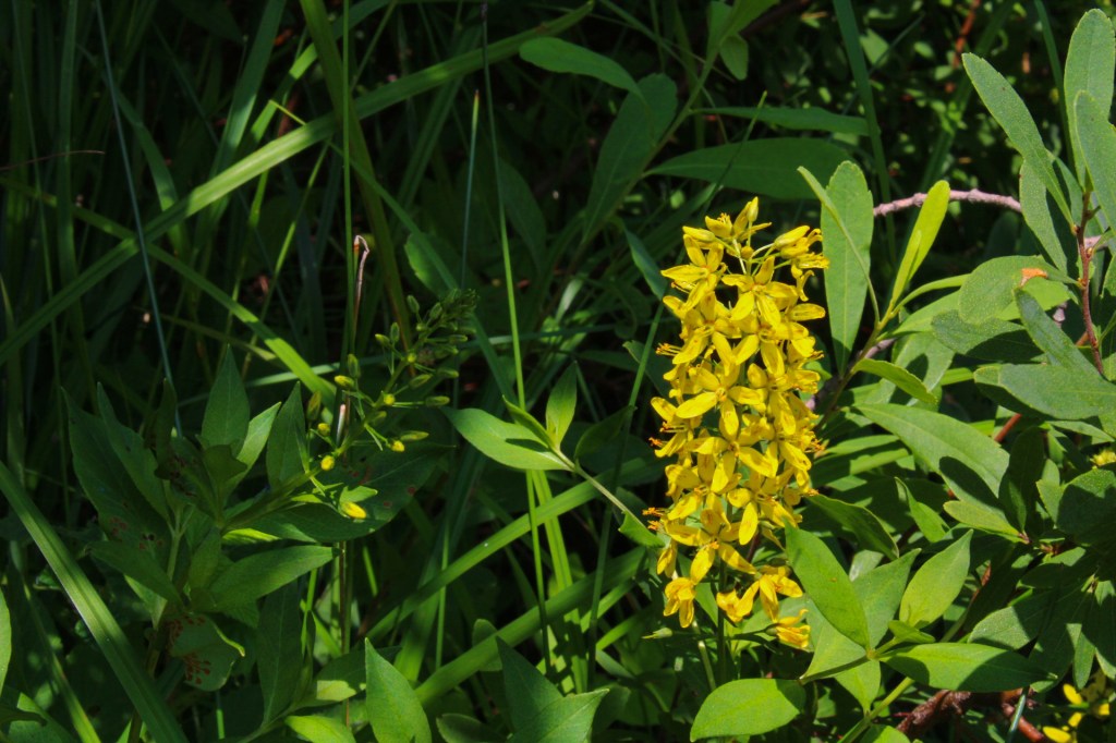
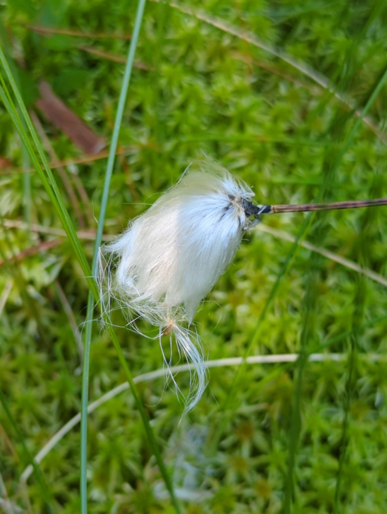
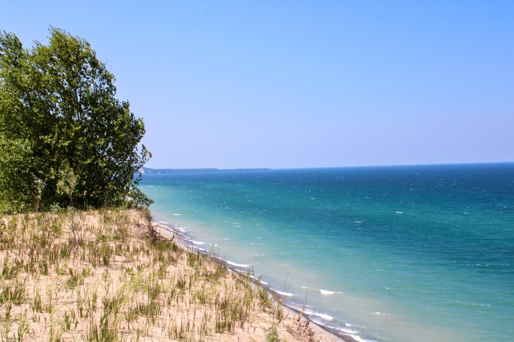
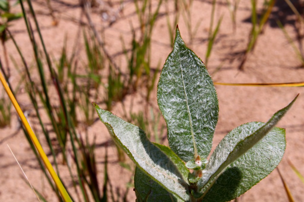
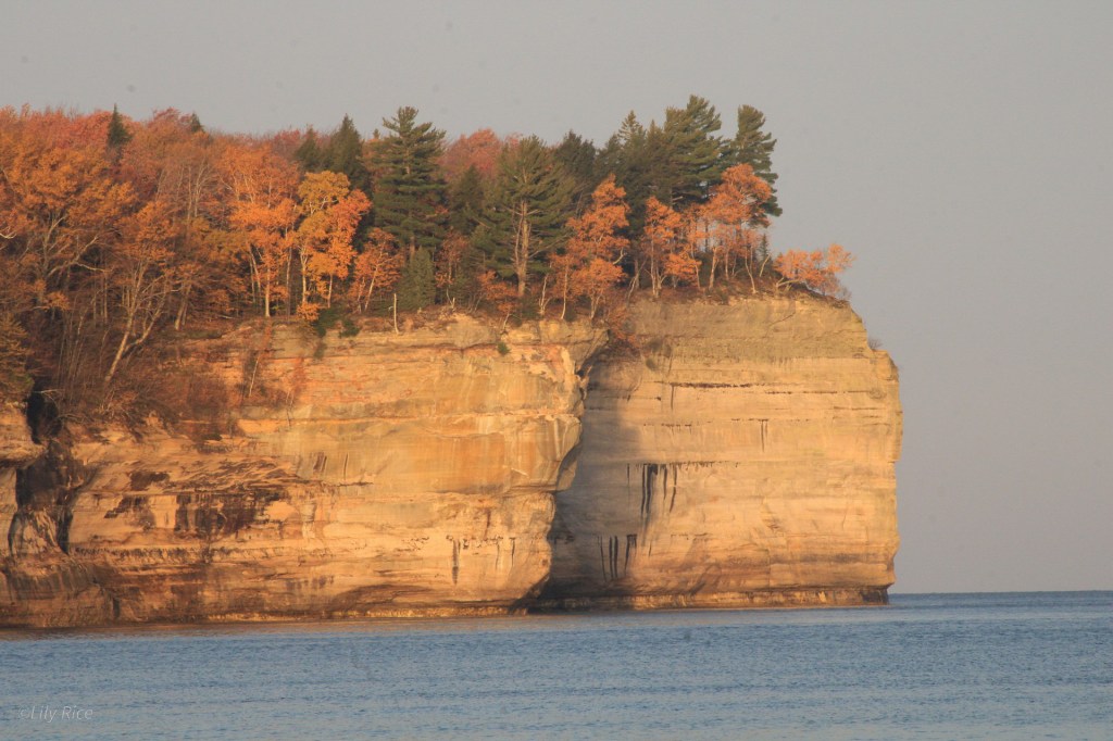
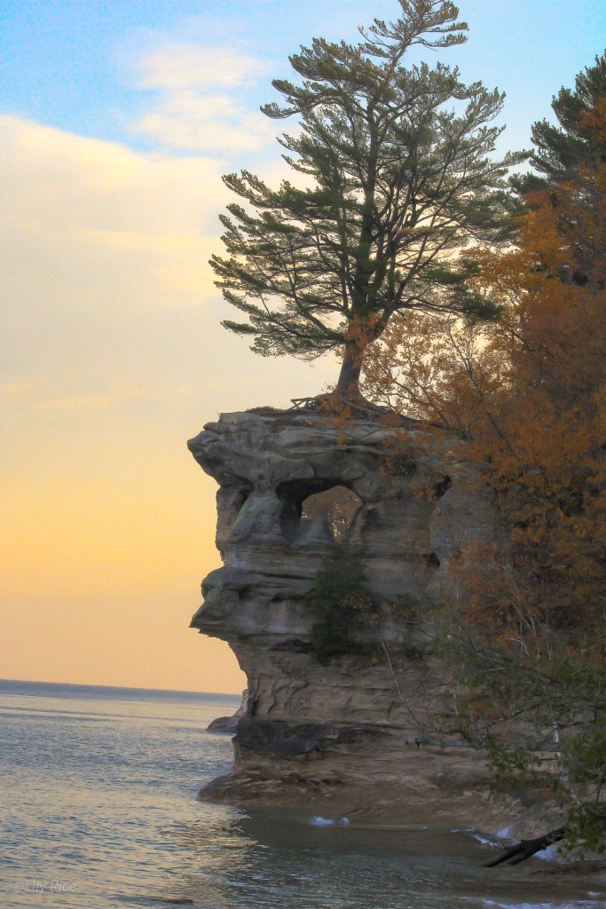
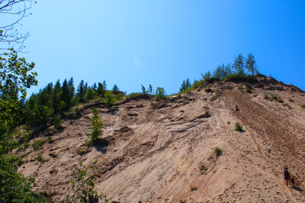
Pictured Rocks National Lakeshore
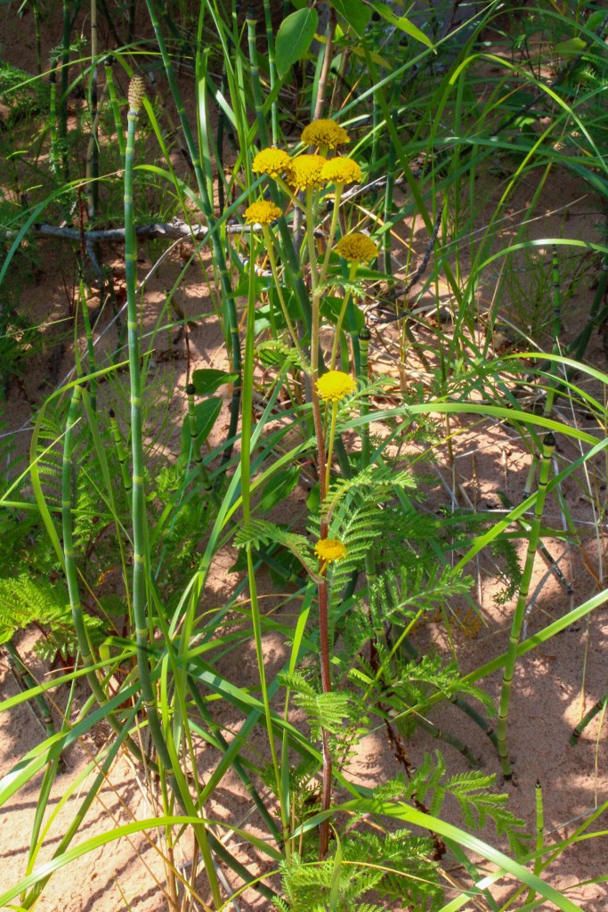
The Pictured Rocks National Lakeshore (PRNL) is renowned for its impressive, towering sand dunes, waterfalls, and 500-800 million year old rock cliffs, all looking over the massive Lake Superior. Many different habitats make this lakeshore their home, which lets you see a variety of plant species. Indeed, several rare species can be found here, such as Tanacetum bipinnatum & Pinus banksiana.

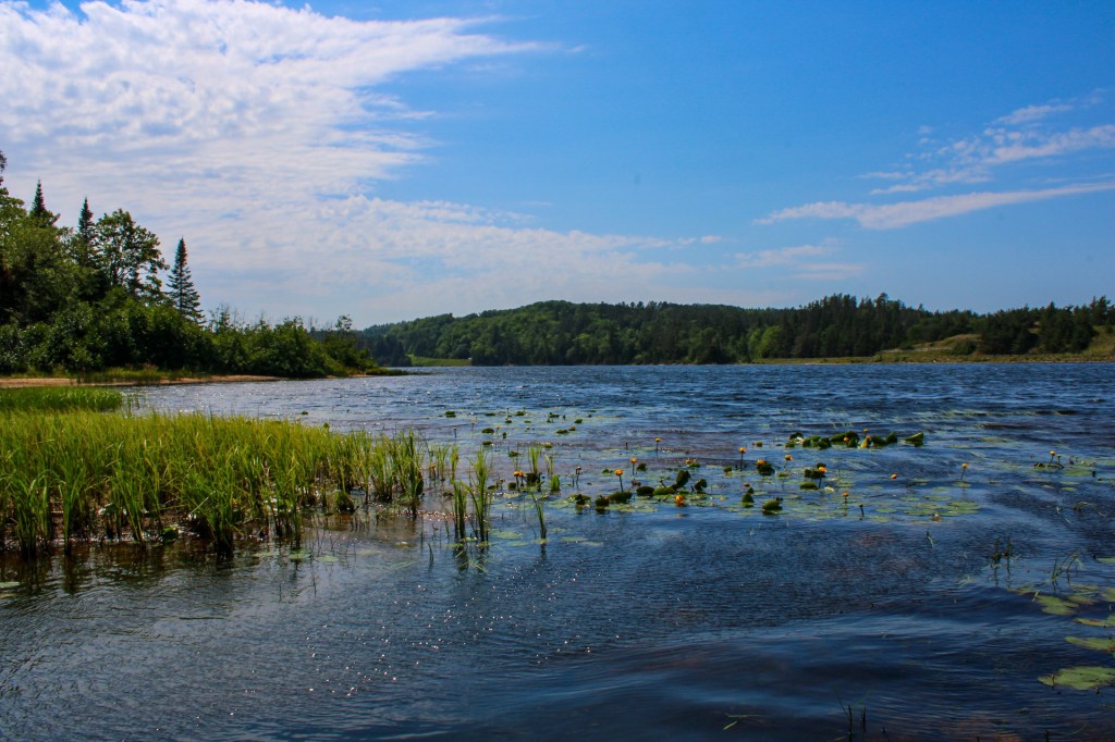
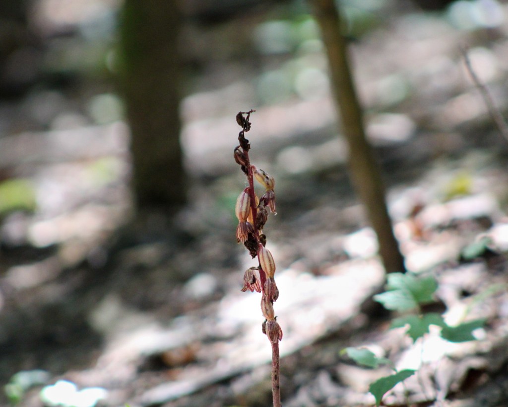
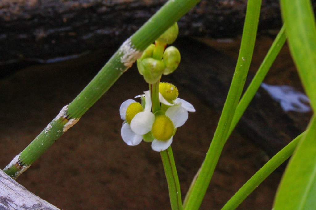
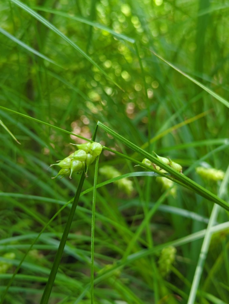
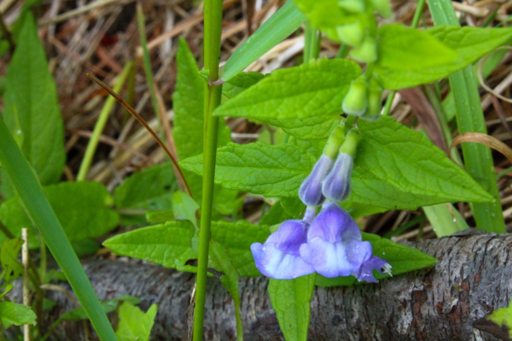
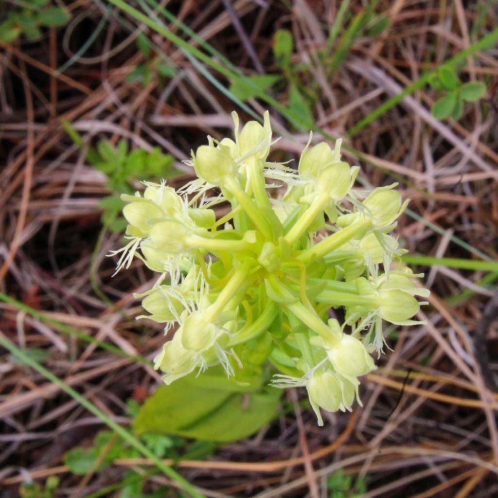
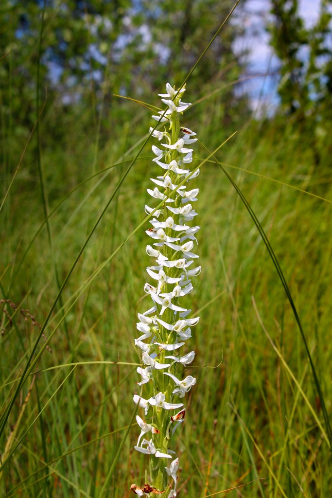
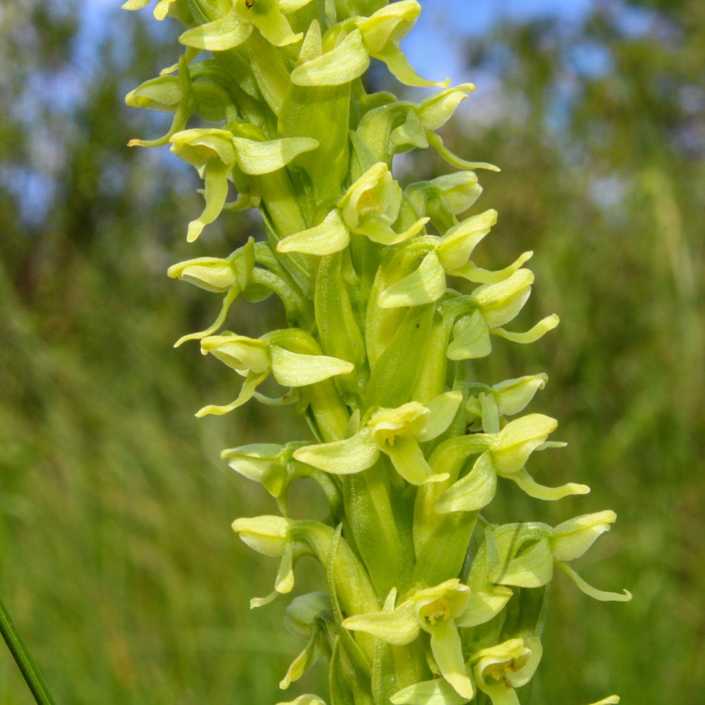
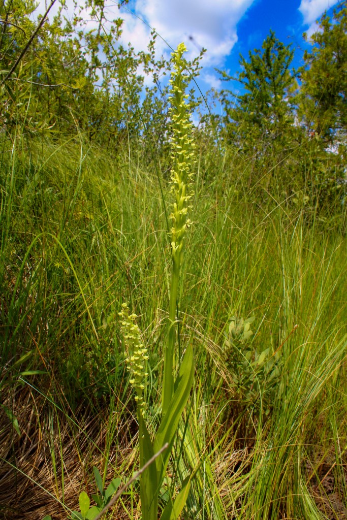
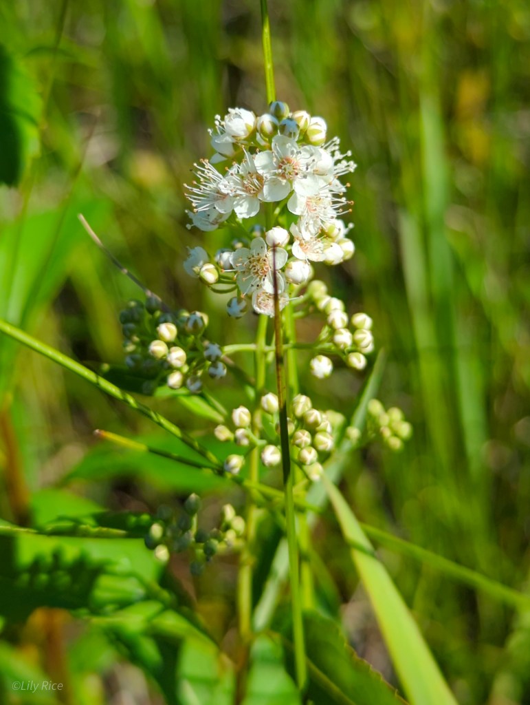
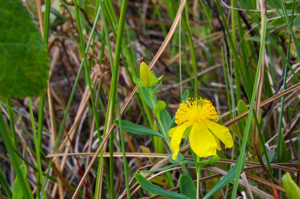
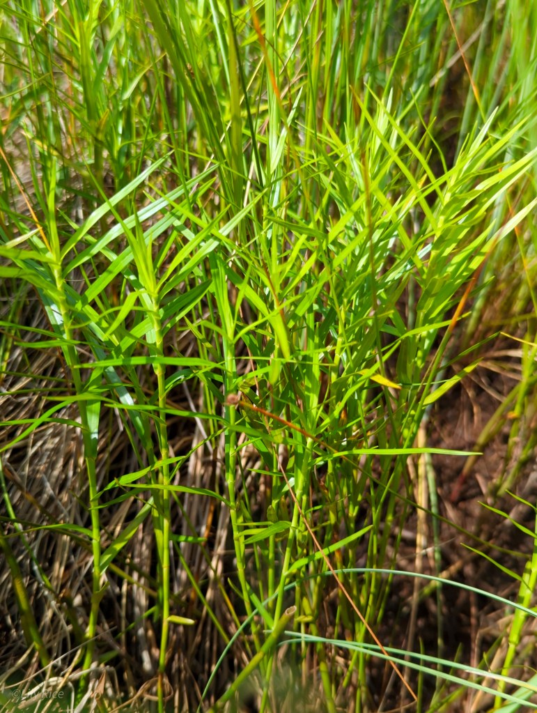
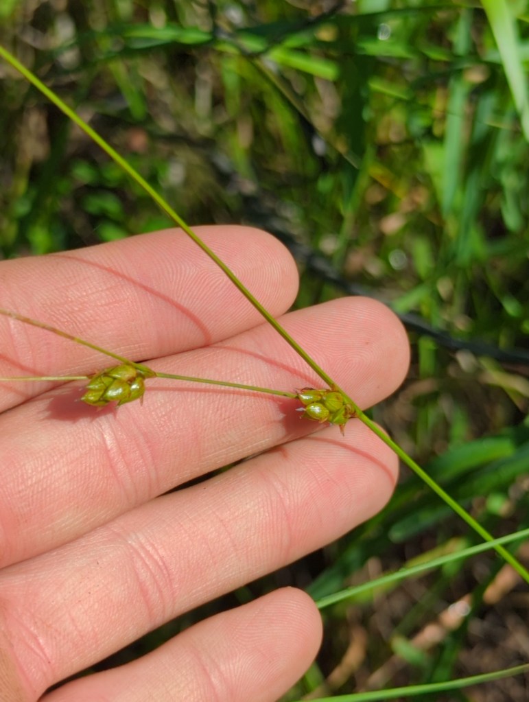
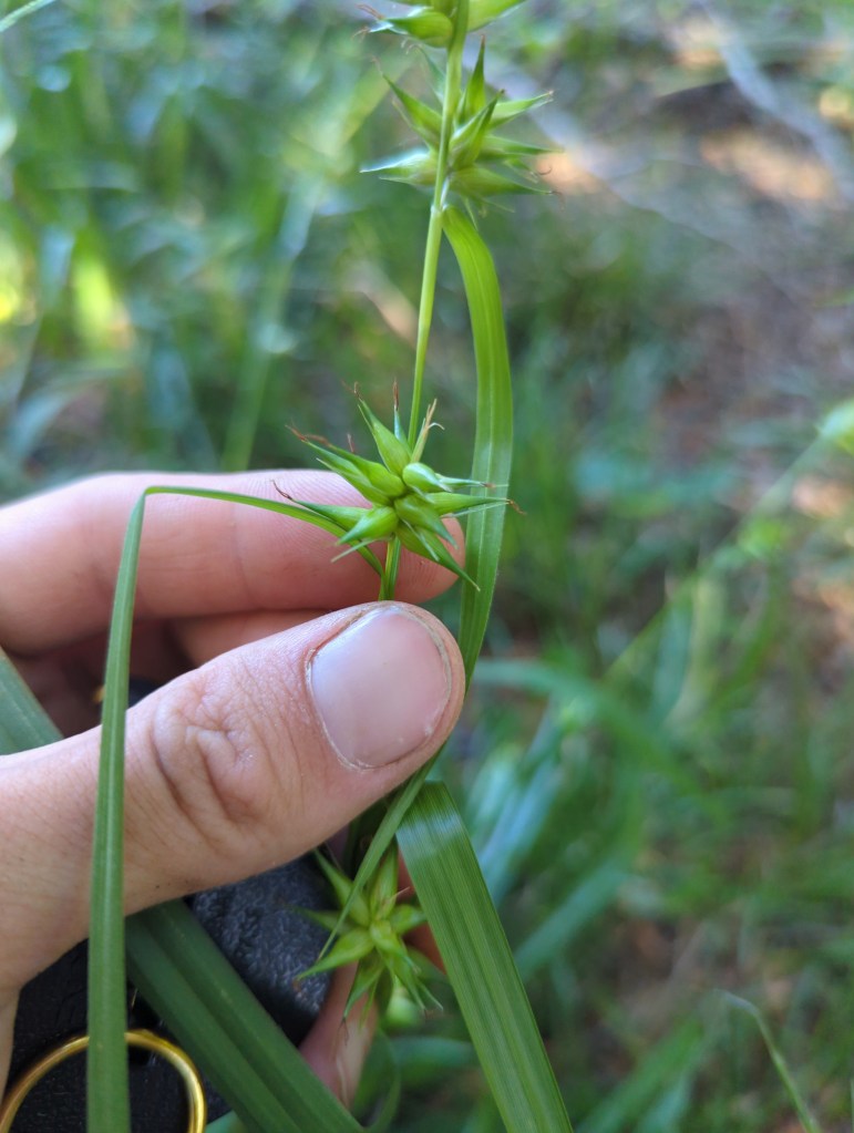
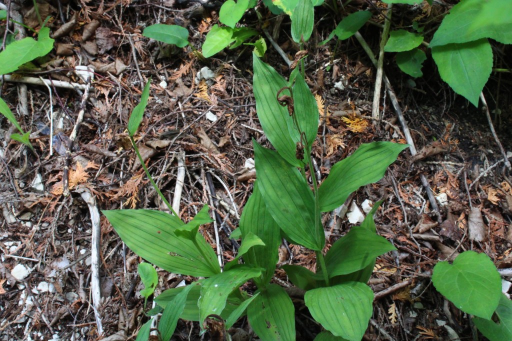
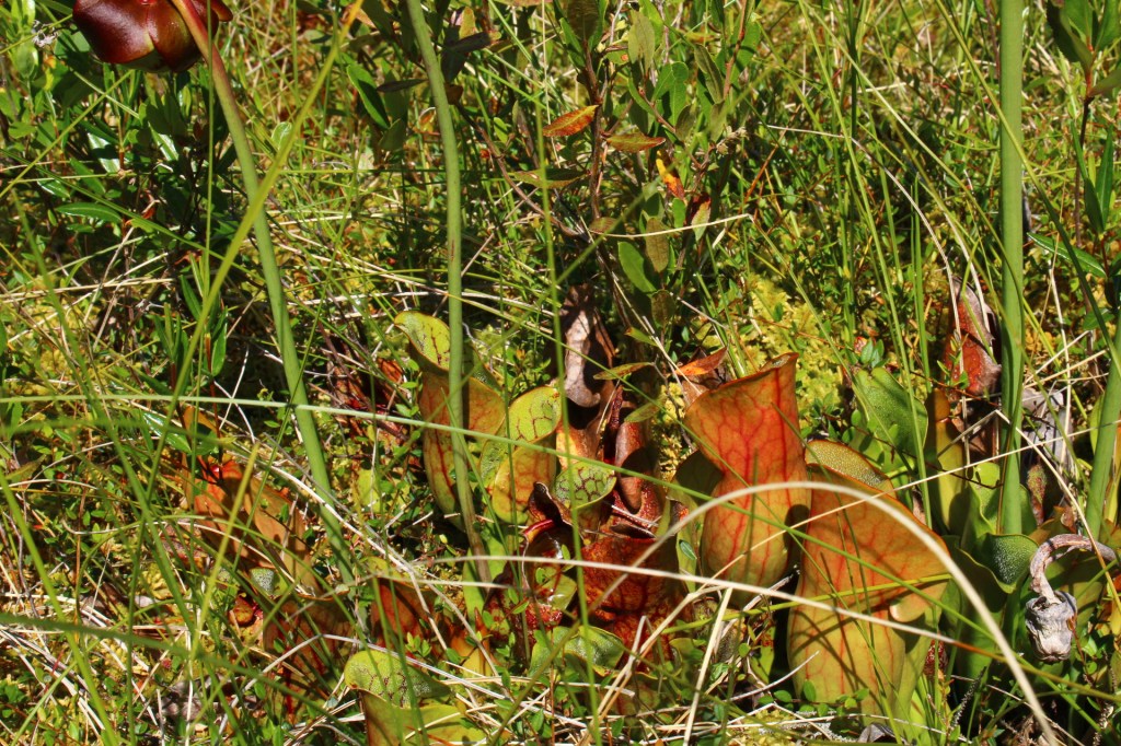
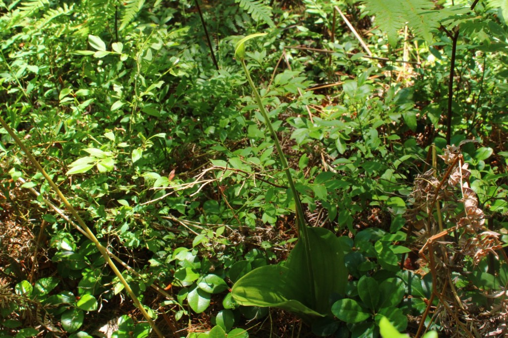
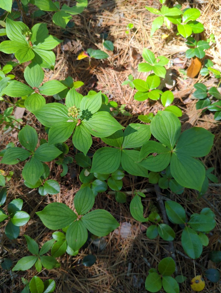
Shingleton Fen & Cedar Swamp
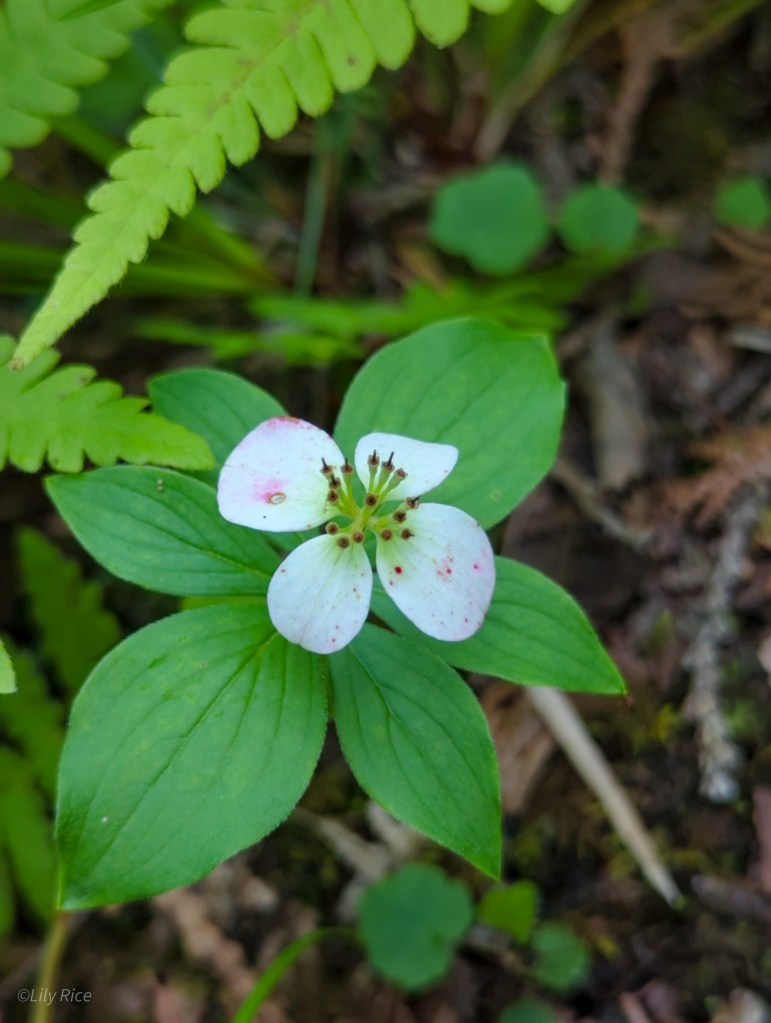
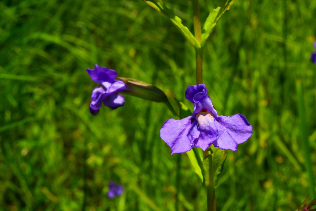
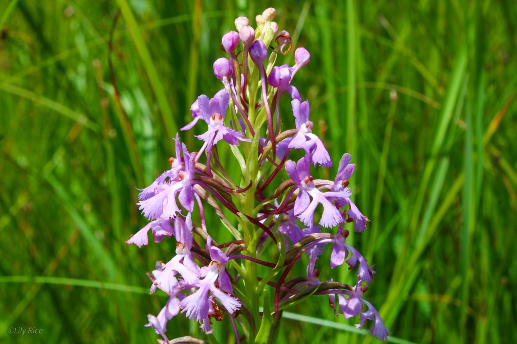
As an example of the interconnected nature of the yoop’s wetlands, the Shingleton fen and cedar swamp blend into each other. The fen is a large expanse of open sedgeland with islands and borders of Thuja occidentalis which represents the transition to the claustrophobic cedar swamp. Many orchid species can be found growing here in association with other uncommon species like Hypericum kalmianum and Dasiphora fruticosa.